Maps & Data Resources
Utah’s unified transportation planning process is supported by significant collaboration in the areas of data collection, analytics, modeling. The statewide resources below are built through extensive data sharing and coordinated staffing and project funding across agencies to meet common information needs.
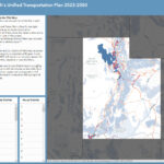
Unified Plan Map
 What transportation projects are planned for the future? The Unified Plan web map shows transportation projects planned Utah through 2050. These road, transit, and active transportation projects have been identified, compiled, and prioritized in the official long range plans by Utah’s four urban metropolitan planning organizations (MPOs) – Cache, Wasatch Front Regional Council (WFRC), Mountainland Association of Governments (MAG), and Dixie – along with the Utah Department of Transportation (UDOT) and Utah Transit Authority (UTA).
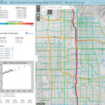
Statewide Traffic Volume Forecast
 What will traffic conditions look like in the future? The statewide Traffic Volume Forecast web map shows historic, current estimates, and forecasted future average daily traffic volumes (AADT) for major roads and highways for major roads and highways (collectors and above) across Utah in both map and graph-based formats. Datasets used in this application are available for download from the map’s ‘About’ panel.
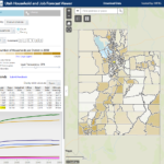
Utah Household and Jobs Forecast Viewer
 Where will Utahns live and work in the future? In alignment with the 4-year update cycle for long range transportation plans, Utah’s MPOs and UDOT produce a year-by-year forecast of where Utah households and jobs will be located in the future. The statewide Household and Jobs Forecast Viewer map shows these forecasts for the state’s 9000+ traffic analysis zones (TAZs) and for ‘city area’ approximations. The forecasts are built from existing conditions, taking into consideration Utah’s officially recognized county growth projections, greenfield and redevelopment opportunities identified in local government land use layers, and other input.
Utah Housing Inventory Explorer
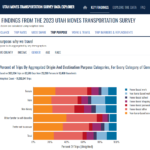
2023 Utah Moves Transportation Survey
 How, where, and why do residents of Utah travel? Utah’s transportation agencies conduct a statewide survey of household travel patterns & decision-making in order to inform travel forecasting and impact analyses for future projects. Information and resources available from the latest study, the 2023 Utah Moves Transportation Survey, include a project final report, summary tables, documentation, and a web-based data explorer tool. A final report for the 2012 survey is also available.
