Connected and Livable Communities
Where we place jobs, housing, recreation, and educational facilities relative to transportation options makes a big difference in the type and cost of trips people make. Access to Opportunities (ATO) is an important element of connecting individuals to their communities. People are more likely to walk, bike, or take a short trip to get to work or school when they live in a centered location. Including recreation opportunities in a central location near housing, jobs, and schools encourages better health and reduces burden on the transportation system. When Utahns have better access to opportunities, particularly when communities are built around town centers, their quality of life improves and the transportation system functions better.
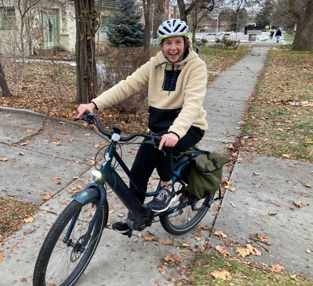
The Human Side: Anna
Anna is a middle school science teacher in Utah County who has been teaching for more than 15 years. On most days she travels to school by riding her bike to the FrontRunner station, taking the train to the station closest to her school, and then biking the three remaining miles.
Anna and her family have benefited from an array of transportation options in their area, including driving, riding public transit, walking, and biking. Over the past few years, Anna’s family has gone from a three-car to a one-car household, and their travel habits have changed. They leverage carpooling and take turns driving. They also ride a recently purchased e-bike. Anna now chooses her mode of transportation based on needs, like when she runs errands on the weekends and can drive her car or ride the Utah Valley Express (UVX) bus rapid transit line, both options provided by a varied and robust transportation network in Utah.
Land Use and Transportation Integration
Transportation and land use are intricately connected in the planning process in a variety of ways, including intermodal connections between walking, biking, transit, and vehicle travel. For instance, the Wasatch Front is physically constrained by mountains and lakes. In addition, many of the region’s remaining open areas are rapidly being developed. These constraints mean that it is essential to use innovative thinking about where and how we build in order to accommodate the additional growth coming to the region.
While many valleys in Utah run out of large pieces of vacant land, infill development and land reinvestment are important strategies to absorb the demands of growth. Communities leveraging infill development can benefit from manageable commuting times being closer to transportation and job centers and can reduce costs due to the need for less new infrastructure. Infill development also holds potential to provide transit choices for residents, improving air quality.
One example of this type of planning is the Wasatch Choice Vision. Wasatch Choice Vision is a shared vision for transportation investments, development patterns, and economic opportunities along the Wasatch Front. The Vision map and key strategies show how advancing the Vision can enhance quality of life even as we grow. Wasatch Choice envisions transportation investments and inter-related land and economic development decisions that achieve desired local and regional outcomes.
Ultimately, the question of where and how growth unfolds is one primarily for local governments as they work with landowners. There is no one-size-fits-all. Every community has their own distinct vision for the future, for the places they want to create and how much or little they want to enable land reinvestment to occur. The transportation agencies of the Unified Transportation Plan have coordinated this plan with those local desires for how and where growth unfolds.
The Human Side: Curtis
Driving was the only method of transportation used by Utah native Curtis from the time he received his license at age 16 until he moved to Washington D.C. for an internship during college. In D.C., Curtis traveled from place to place on buses or metro trains since he did not have a car. This experience revealed the benefits of public transportation. When Curtis returned to Utah, he found a job near a transit station specifically because of its advantages. He rides a bus or bike to access FrontRunner, which is part of the commute from his home in Bountiful to his job in Ogden. Curtis likes the option to relax and even work on the train. He values a transportation system in Utah that supports community connections and offers choices for how people want to travel to work.
A Regional Perspective:
Connecting Davis County Communities
Reconstruction of US-89 between Farmington and Layton in Davis County accomplished more than simply widening a nine-mile section of highway–it connected communities before construction and after.
“The perspectives on this project were as individual as the over 360 homeowners living directly along the corridor and they were all valuable,” said Karen Smith, a member of the US-89 Community Coordination Team. “Property owners wanted to preserve their views and the natural landscape. Commuters needed safe transit into Salt Lake and Ogden. Layton City needed an east-west corridor and also wanted access to hiking trails and ultimately the creation of a town center in this part of town. ”
According to Smith, the end product was better because the project team listened to perspectives from a variety of stakeholders and worked to address their concerns and requests.
The original preferred alternative showed US-89 carrying six lanes over local streets. Area residents expressed significant concerns about the noise and other impacts of this plan. In response, the project changed course and constructed US-89 under the surface streets instead. While this design change required the relocation/replacement of over 150 miles of utilities in the nearly 10-mile project area, it ultimately also resulted in significantly fewer permanent impacts to area residents.
New interchanges and bridges now connect previously disjointed communities. Frontage road sections were added to provide access to already-existing frontage roads and local streets, while enabling better access to new interchanges as well as options to cross those same interchanges. The frontage roads include shared shoulders that function as a parallel bicycle route, and three new pedestrian tunnels under the highway will connect future trail systems.
Not only does this $473 million project link neighborhoods on both sides of the highway, it also aims to improve quality of life for area residents and travelers. Increased connectivity, combined with added bicycle routes and pedestrian tunnels, advances a transportation system for all users, including individuals riding bikes, walking, or using wheelchairs.
“If all users feel that their input was considered and that efforts were made to accommodate their needs, it goes a long way toward building positive relationships while building projects,” Smith said. “Utilizing differing perspectives leads to better results, creates stronger communities, and achieves better outcomes.”